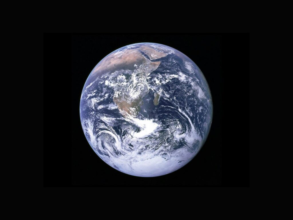
A view of Earth from space can make a complex environmental story immediately visible. But an image is also a measurement made by an instrument at a particular time. Understanding what it shows requires more than looking at its colours.
Find out what the instrument sees
NASA’s Earth science programme uses observations to study connected systems including land, oceans and the atmosphere. Different instruments measure different properties; an image may represent something other than the colours a person would see from a window.
A caption should explain what is being displayed and whether the colours have been assigned to make a measurement easier to interpret. Dramatic colour is not, by itself, a measure of severity.
Choose a fair comparison
Two pictures taken in different seasons may show differences that need seasonal context. A change in cloud cover, viewing angle or processing can also alter what is visible.
Look for comparable dates, consistent methods and an explanation of uncertainty. A single before-and-after pair can introduce a question, but a longer series may be needed to show whether the change is unusual.
Connect the image to the ground
A satellite perspective is powerful because it can reveal patterns over wide areas. Local observations help explain what those patterns mean for a particular place.
Good science coverage brings the scales together: the broad measurement, the method behind it and the people or ecosystems affected. The image draws us in; the explanation lets us judge the claim.